
Monongahela National Forest
Dolly Sods Wilderness: Hiking & Backpacking Guide
Red spruce, wind-carved boulders, blueberry heath and bogs that belong a thousand miles north — Dolly Sods is the strangest and most rewarding landscape in West Virginia.
Quick Info
- Location
- Tucker & Randolph counties, WV
- Size
- About 47,000 acres of designated wilderness
- Elevation
- Roughly 2,600 to 4,700 feet
- Best For
- Backpacking, day hikes, photography
A Little Bit of Canada in Appalachia
Dolly Sods is a plateau, not a valley, and that makes all the difference. Sitting at 3,000 to 4,700 feet on the Allegheny Front, it catches cold air and heavy snow, supporting an ecosystem more like northern Canada than the surrounding hardwood forest.
The area was heavily logged and burned in the early 1900s, and the exposed soil and seed bed it left behind created the open heath barrens you see today. Red spruce, mountain laurel, rhododendron, blueberry and cranberry now cover rolling meadows studded with pale sandstone boulders.
Designated a federal wilderness in 1975, Dolly Sods has no amenities inside its boundaries — no roads, no buildings, no cell service. What it offers instead is one of the most uncrowded and unusual backpacking experiences in the eastern United States.
The Classic
Bear Rocks Preserve
Bear Rocks is the most photographed spot in Dolly Sods: a field of massive sandstone boulders perched on the eastern edge of the plateau, looking out over the Allegheny Front toward the Shenandoah Valley.
The short, easy walk from the Bear Rocks trailhead makes this an ideal introduction for visitors who are not ready for a full backcountry trek. It is also a legendary sunrise and sunset location, with clouds often pooling in the valleys below.
Parking is limited and the access road can be rough, so arrive early on weekends and drive a vehicle with decent clearance.
Trails & Routes
The wilderness is stitched together by a network of old logging grades and footpaths. Popular options include the Dolly Sods Loop, the Blackbird Knob Trail and the Rohrbaugh Trail, which can be combined into loops of 6 to 20 miles.
Trails are often wet, rocky and faint, and blazes are not always dependable. A good paper map and a compass, plus the ability to read them, are essential. Many sections follow streams and bog edges where a misplaced step means a soaked boot.
The northern section near Bear Rocks and the southern section around the Dolly Sods picnic area each offer different scenery. If you are doing one overnight, a loop linking the Blackbird Knob and Red Creek trails shows off the plateau's best variety.
Backpacking & Camping Rules
Backcountry camping is allowed throughout most of the wilderness, but you must camp at least 300 feet from trails and water sources and stay out of the fragile bog areas. Group sizes are limited, and camping within the Bear Rocks Preserve is restricted.
There are no fires allowed in some sections and no established sites, so plan to practice Leave No Trace: pack out all trash, use a bear canister or hang your food, and treat or filter all water. Red Creek and its tributaries are the main water sources, but the water is often tea-colored from natural tannins.
There is one developed campground at Red Creek, outside the wilderness boundary, with vault toilets and picnic tables. That is the place to base a car-camping trip or to stage a first backpacking overnight.
Weather You Must Respect
Dolly Sods is famous for brutal, fast-changing weather. Fog can swallow the plateau in minutes, rain and sleet arrive with little warning, and winter snowpack can linger into May. Winds on the exposed balds regularly top 30 miles per hour.
Even in midsummer, temperatures can drop into the 40s at night, so bring insulating layers, rain gear and a warm sleeping bag. Sturdy, waterproof boots are worth their weight, since the trails are frequently ankle-deep in mud and water.
Before any trip, check the National Weather Service forecast for the highest elevations, not just the nearest town. Conditions at Davis or Petersburg tell you very little about what is happening on the plateau.
Getting There
Most visitors approach from Davis or Canaan Valley via WV Route 32 and Forest Road 75, and from the east via FR 19 off Route 28 near Jordan Run. Roads are narrow, winding and sometimes gravel — allow extra time.
Related Guides
Peak
Spruce Knob
The state's highest summit, close by.

Region
Tucker County
Davis, Thomas and Blackwater Falls nearby.
Waterfall
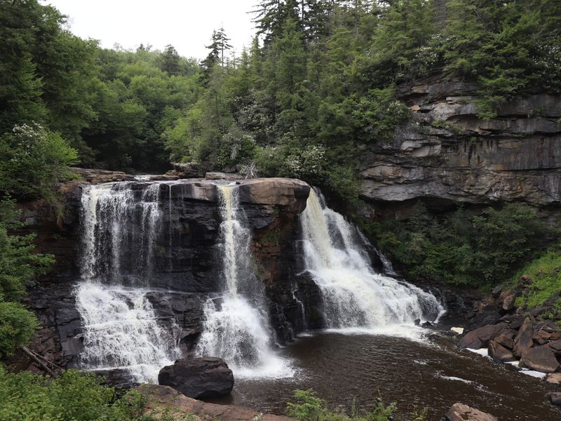
Blackwater Falls
The state's most famous cascading falls.
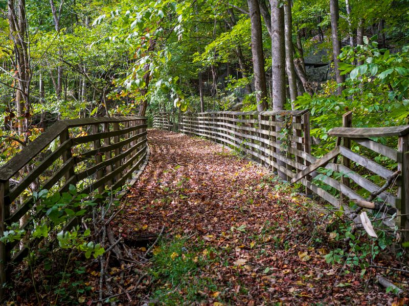
Camp
Camping
Car camping and backcountry options.
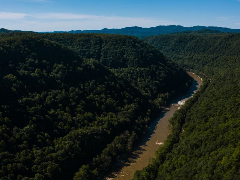
Trails
West Virginia Hiking
Guides for every skill level.
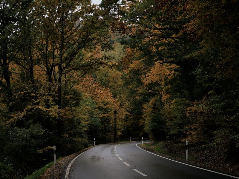
Drive
WV Road Trips
Highland drives through the Mon.
Dolly Sods FAQ
Is Dolly Sods good for beginners?
Day hikes to Bear Rocks are easy and rewarding for anyone. Overnight backpacking is better suited to hikers with some navigation and backcountry experience, because the trails are wet, rocky and sometimes faint.
Can I camp anywhere in Dolly Sods?
Dispersed camping is allowed in most of the wilderness, but you must stay at least 300 feet from trails and water and avoid sensitive bogs. Some areas, including Bear Rocks Preserve, are closed to camping.
Are there bathrooms or water at Dolly Sods?
Facilities are extremely limited. There are pit toilets at a few trailheads and the Red Creek Campground, but no potable water. Treat or filter all water you collect.
When is the best time to backpack Dolly Sods?
Late spring through fall is best. Summer brings blueberries and moderate temperatures, while early fall delivers color and cooler air. Winter requires true mountaineering experience.
Do I need a permit?
No permit is required for general backcountry use, but group size is limited and certain areas have seasonal restrictions. Check current Monongahela National Forest rules before your trip.
About Discover WV Today
Discover WV Today is an independent travel publication devoted to the Mountain State. We carry the maps, hike the routes and sleep in the backcountry so our guides reflect what a trip is really like. Read our story →