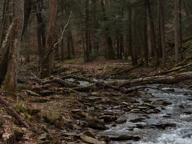
Midland Trail (US-60)
The old pioneer road from White Sulphur Springs through Hawks Nest and Gauley Bridge, with canyon views and the state's most scenic river confluence.

Scenic Drives
Some of West Virginia's grandest views are seen through a windshield. These byways thread the Alleghenies, follow old coal and turnpike routes, and lead to overlooks you will remember for years.
West Virginia is a state best understood from the road. Highways here follow river valleys and mountain gaps rather than a grid, which means every drive is a slow reveal of ridge lines, waterfalls and small towns. The signature routes below pair well with a stop for a hike, a museum or a country diner.
Plan for winding roads and add time to your estimates: a 60-mile route in the mountains can easily take two hours. Fill the tank before you leave town, and check WVDOT conditions for high-elevation routes in winter.
Six routes cover the state's best scenery. Do them one at a time or link them into a multi-day loop.

43 miles · Route 150
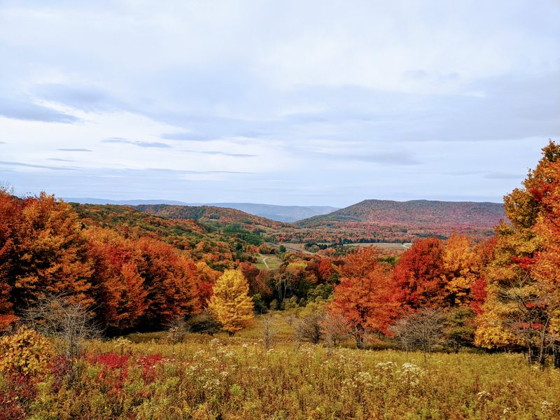
The state's premier mountain drive, crossing the Cranberry Wilderness and Dolly Sods country between Richwood and Marlinton. Four developed overlooks, trailheads every few miles and near-continuous high-elevation views. Closed in winter.
Dolly Sods guide →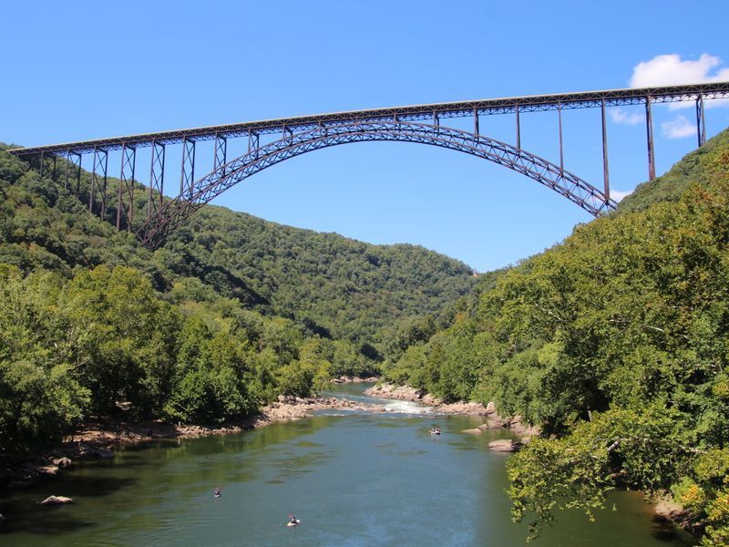
New River Gorge · Route 82
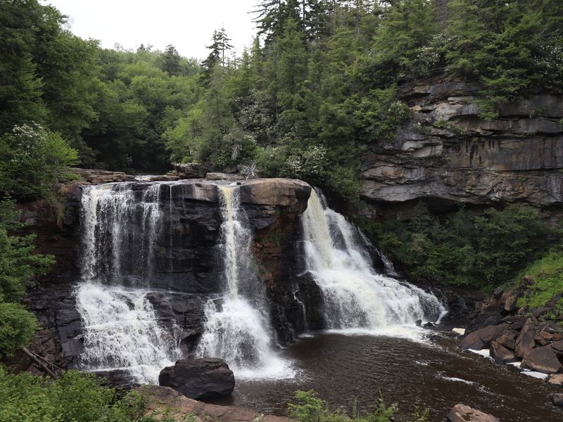
Loop both sides of the gorge from Fayetteville, hitting the bridge overlook, Long Point, Grandview and Sandstone Falls. Combine with a stop in the near-ghost town of Thurmond.
New River Gorge guide →
180 miles · US-52 & WV-16
Follow the seams through Beckley, Bramwell, Welch, Matewan and Iaeger, past tipples, company stores and the Mine Wars country. History-heavy and wonderfully unhurried.
Coal mine guide →The old pioneer road from White Sulphur Springs through Hawks Nest and Gauley Bridge, with canyon views and the state's most scenic river confluence.
A high spine of a road through Seneca Rocks, Spruce Knob and the Smoke Hole, with sweeping valley views and dark-sky country.
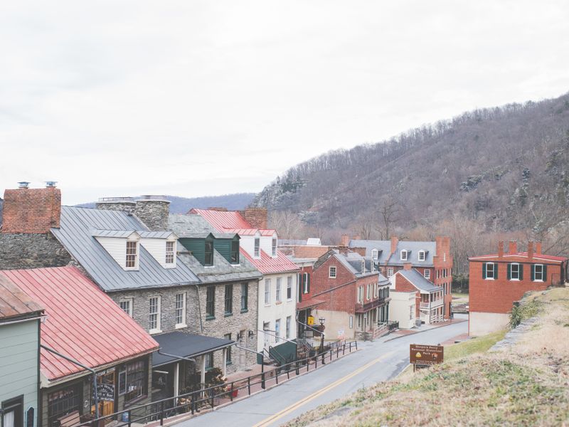
A 112-mile loop through the eastern panhandle linking Harpers Ferry, Shepherdstown, Berkeley Springs and Martinsburg.
From Elkins over Cheat Mountain to Snowshoe, a ridgeline run with elk, spruce forest and roadside overlooks.
A Civil War corridor through Beverly, Elkins and Weston, dotted with battlefields, covered bridges and historic inns.
A southern byway through the Greenbrier and New River valleys, connecting Lewisburg, Alderson and Hinton.
Spring
Dogwood and redbud color the valleys; waterfalls are loud with snowmelt. Fog can hide the long views.
Summer
Long days and deep green. Start early to beat afternoon thunderstorms; the high country stays cool.
Fall
The peak. Foliage sweeps from the highest ridges south through mid-October. Weekdays are far quieter.
Winter
Bare trees open distant views, but the Highland Scenic Highway and many forest roads close. Carry chains in the high country.
The Highland Scenic Highway (WV-150) is generally considered the state's most beautiful drive, especially during fall foliage. The New River Gorge rim loop is the best year-round choice.
Yes. The Highland Scenic Highway and many national forest roads close seasonally. Check WVDOT and Forest Service conditions before setting out in the cold months.
The 43-mile route drives in about 1.5 hours without stops, but allow half a day to enjoy the overlooks, Cranberry Glades boardwalk and short hikes.
For the paved byways, no. AWD helps on forest service roads and in winter, and some dirt spurs to trailheads are rough enough to want higher clearance.
About
Discover WV Today is an independent travel and outdoor guide dedicated to helping visitors discover the best places, outdoor adventures, small towns, state parks, historic sites and hidden gems throughout West Virginia. Learn more about us →