
Public Lands
Monongahela National Forest: Guide to WV's National Forest
The Monongahela National Forest covers 921,000 acres across ten counties in eastern West Virginia — high plateaus, deep gorges, spruce forests, and wild rivers. It is the backbone of the state's outdoor recreation, and just about everything worth doing in the highlands happens here. This is how to explore it.
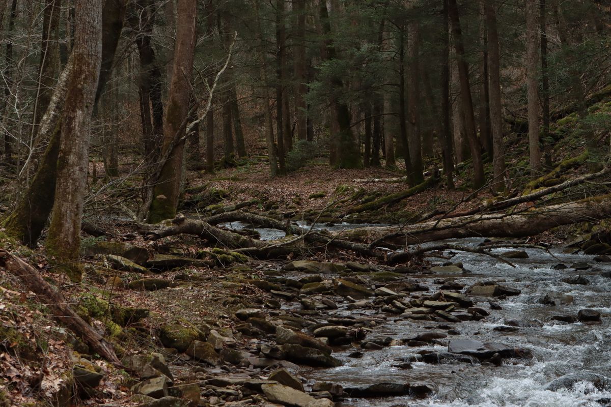
Quick Info
- Best For
- Hiking, backpacking, dispersed camping, fishing, wildlife, scenic drives
- Best Season
- May–October; wildflower spring and fall color are highlights
- Difficulty
- Easy boardwalks and forest roads to remote wilderness route-finding
- Fees/Permits
- No entrance fee; dispersed camping generally free; some sites charge modest fees
- Where
- Pocahontas, Randolph, Tucker, Pendleton, Grant, Greenbrier and surrounding counties
Dolly Sods & Spruce Knob: The High Country
The Dolly Sods Wilderness is the forest's most unusual landscape: a high-elevation plateau of windswept heath, boulder fields, and stunted red spruce that resembles northern Canada. Trails are marked with cairns rather than blazes, and the weather can turn in minutes, so a map, compass, and layers are essential. Just to the south, Spruce Knob rises to 4,863 feet — the highest point in West Virginia — with the easy Whispering Spruce Trail and the High Knob fire tower nearby. The North Fork Mountain Trail runs 24 miles along the ridge between them, with repeated jaw-dropping views of Germany Valley and the Shenandoah.
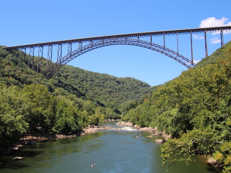
- Bear Rocks Preserve — iconic sunrise viewpoint on the Allegheny Front.
- Spruce Knob — highest point in the state and easy summit trails.
- North Fork Mountain Trail — a 24-mile ridge classic.
- Smoke Hole Canyon — dramatic limestone gorge and dry-fly water.
Cranberry Wilderness & Glades
The Cranberry Wilderness spans 47,815 acres of roadless spruce and hardwood forest — the largest wilderness in West Virginia and a superb place for multi-day loops along the Cranberry River and North Fork Cranberry. Nearby, the Cranberry Glades Botanical Area protects a series of true boreal bogs at 3,400 feet, with a boardwalk that winds among cranberry, cotton grass, and sundew. The Falls of Hills Creek drops through a short gorge with three waterfalls, and the Highland Scenic Highway (Route 150) links it all with overlooks, picnic areas, and the Williams River corridor.
Seneca Rocks & the Potomac Highlands
The Spruce Knob-Seneca Rocks National Recreation Area anchors the eastern side of the forest. Seneca Rocks, a 900-foot quartzite fin, is a landmark for hikers and climbers alike, with a viewing platform atop the ridge and a visitor center at the base. The Smoke Hole Canyon cuts a scenic route along the South Branch of the Potomac, and the Germany Valley below offers pastoral views and spring wildflowers. The nearby towns of Seneca Rocks, Petersburg, and Elkins make good bases, and the forest's eastern edge blends into the high Alleghenies around Canaan Valley.
Camping & Dispersed Sites in the Forest
Camping in the Monongahela ranges from developed forest campgrounds with vault toilets and tables to free dispersed sites along forest roads. Popular developed areas include Seneca Shadows near Seneca Rocks, Big Bend and Island campgrounds on the South Branch, and Day Run and Bishop Knob along the Williams River. Dispersed camping is allowed across most of the forest with a 21-day stay limit; camp at least 200 feet from water and trails, use existing fire rings, and follow Leave No Trace. The Highland Scenic Highway corridor and the back roads around Dolly Sods and Spruce Knob are favorite dispersed areas.
Plan Your Visit: Scenic Drives & Bases
Highland Scenic Highway
Route 150 is a 43-mile byway linking Cranberry Glades, Falls of Hills Creek, and the Williams River with frequent overlooks. It is gorgeous in fall and often quiet on weekdays.
Good Base Towns
Marlinton, Elkins, Davis/Thomas, Seneca Rocks, and Petersburg all offer lodging, food, and outfitters within easy reach of the forest's best trails.
Cell Service & Fuel
Cell coverage is spotty to nonexistent in the backcountry. Download offline maps, top off fuel before heading in, and tell someone your route and return time.
Top Monongahela spots in West Virginia
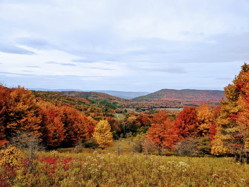
Spruce Knob
West Virginia's highest point and the Whispering Spruce Trail.
Dolly Sods
Wild, cairn-marked plateau with bear rocks and bogs.

Seneca Rocks
The forest's iconic fin and a top hiking/climbing destination.

Falls of Hills Creek
Three waterfalls in a short gorge off the scenic highway.

Trout Streams
Cranberry and Williams rivers for wild and stocked trout.

Camp for Free
Dispersed camping across nearly a million acres.
Related Guides
Frequently Asked Questions
Is there an entrance fee for the Monongahela National Forest?
No. There is no entrance fee to the national forest. Some developed campgrounds and recreation sites charge modest fees, but dispersed camping is generally free.
Can I camp anywhere in the forest?
Dispersed camping is allowed across most of the forest, with a 21-day limit in one location. Camp away from water and trails, and follow Leave No Trace practices.
Is Dolly Sods suitable for beginners?
Short outings from Bear Rocks or along the Red Creek area can work for beginners, but the plateau's faint cairn routes, mud, and fast-changing weather make a map and compass essential. Start with a guided or well-documented loop.
What is the best time to visit?
Late spring through fall offers the best access and conditions, with wildflowers in May, lush green summers, and spectacular fall color from late September into October. Winter access is limited by snow and closed roads.
About Discover WV Today
Discover WV Today is an independent travel guide to West Virginia's mountains, rivers, towns, and hidden corners. We publish practical, locally researched guides — from New River Gorge trails to Hatfield-McCoy ATV routes — so you can plan a better trip.
Learn more about us