
About 25 minutes · 18 miles west
Cass Scenic Railroad
Ride a restored Shay steam locomotive from the old logging town of Cass up to Bald Knob, one of the highest points in the state. The whistle echoing off the mountains is pure West Virginia.
Nearby Guide
Snowshoe is the heart of Pocahontas County, and the surrounding highlands hide some of West Virginia's most legendary attractions — from logging railroads to the state's highest peak.
Snowshoe Mountain sits near the crest of the Allegheny highlands at roughly 4,848 feet, wrapped by the Monongahela National Forest. That location makes it an ideal base camp: downhill skiing and snowboarding in winter, and hiking, mountain biking, fishing and scenic drives the rest of the year.
Distances in Pocahontas County look short on a map, but the two-lane mountain roads make each trip an outing. Use the times below as planning estimates and always leave a buffer in winter.
About 25 minutes · 18 miles west
Ride a restored Shay steam locomotive from the old logging town of Cass up to Bald Knob, one of the highest points in the state. The whistle echoing off the mountains is pure West Virginia.
About 35 minutes
Home to the world's largest fully steerable radio telescope, set in the National Radio Quiet Zone. Guided bus tours explain the science and the unusual silence of the valley.
Spruce Knob, about an hour north, is the highest point in West Virginia at 4,863 feet. A short walk from the parking area reaches the observation tower and the Whispering Spruce Trail, where red spruce and open meadows stretch to the horizon.
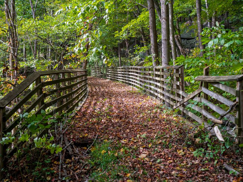
Nearby Seneca Rocks, roughly 50 minutes away, is a 900-foot fin of Tuscarora quartzite and a bucket-list destination for climbers and photographers. The Seneca Rocks Discovery Center and the gentle Yokum's trail offer views even if you never touch the rock.

About an hour north, Dolly Sods Wilderness feels like the far north: wind-stunted spruce, grassy bogs, wild blueberry thickets and rocky plateaus. It is one of the most unusual landscapes in the eastern United States.
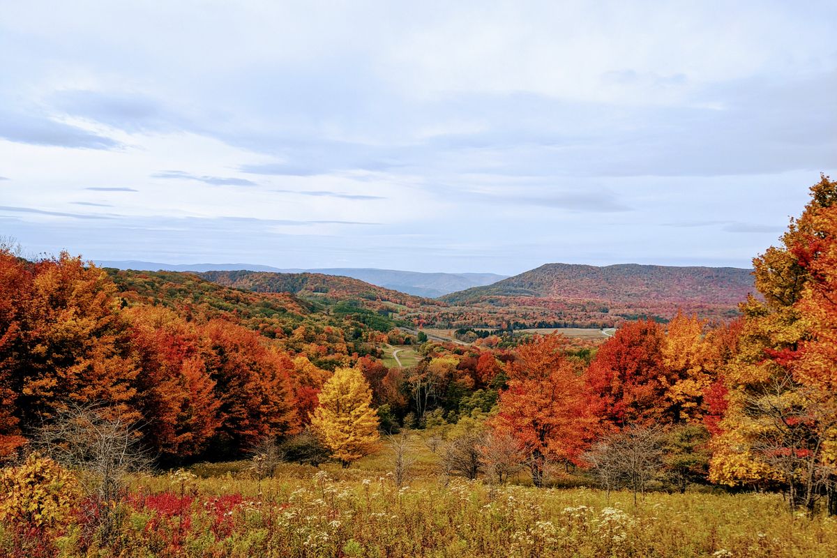
The Highland Scenic Highway (Route 150) and the Cranberry Glades Botanical Area are nearby too, with four overlooks and bog boardwalks that are especially stunning in early fall.
About 30 minutes from Snowshoe, Marlinton sits on the Greenbrier River and serves as the county seat and trail hub for the Greenbrier River Trail. It's a good stop for lunch, supplies and river access.
About an hour away, the twin towns of Davis and Thomas anchor the Blackwater Falls area with galleries, coffee roasters and breweries, while Blackwater Falls State Park delivers one of the state's most famous waterfalls and the sledding run at Pendleton Point.
Steam train into the high country.
25 min · 18 mi
West Virginia's highest point.
1 hr
Climbing and hiking landmark.
50 min
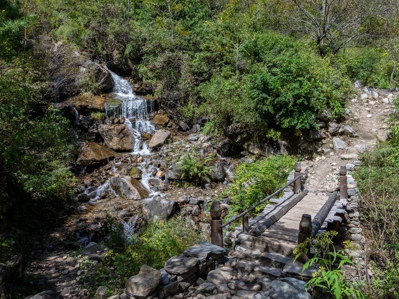
Alpine-style wilderness plateau.
1 hr

River trail hub and county seat.
30 min
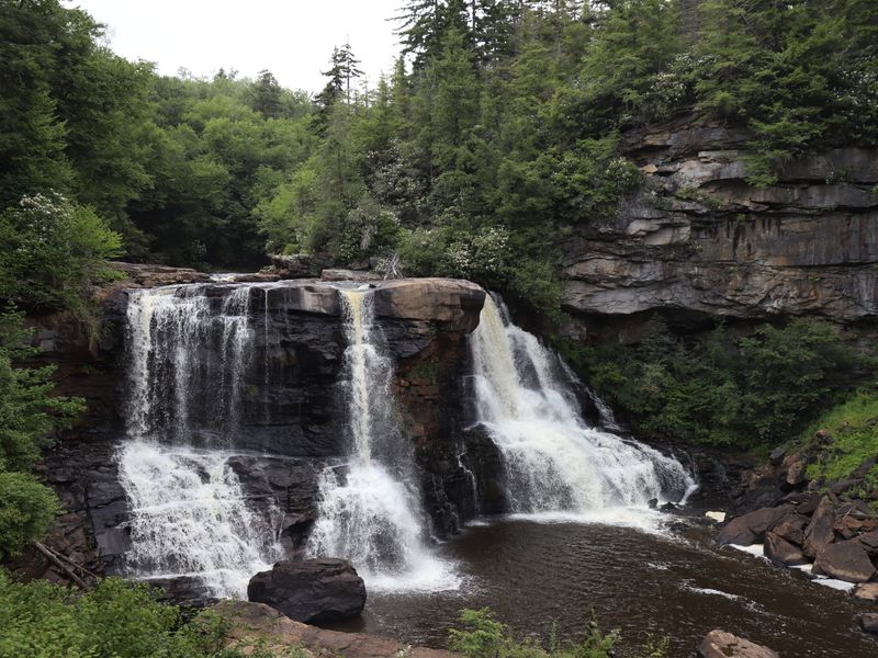
Waterfalls, shops and breweries.
1 hr · 55 mi
Trails across Pocahontas County.
Varies
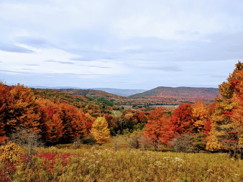
Snowshoe and beyond.
On site
Mountain biking, the Cass Scenic Railroad, hiking on Spruce Knob and Dolly Sods, fishing the Greenbrier and Shavers Fork, and scenic drives along the Highland Scenic Highway.
About 25 minutes and 18 miles west. Book tickets in advance, especially for fall color weekends.
Yes, but it's a full day. They are roughly 25 minutes apart via Route 28 and 33, about an hour from Snowshoe. Start early to enjoy both without rushing.
A car is strongly recommended. The nearest major airport is in Charleston, about three hours away, and the surrounding attractions are scattered across rural mountain roads.
Discover WV Today is an independent travel guide to West Virginia's mountains, rivers, small towns and state parks. We write practical guides to help you plan memorable trips across the Mountain State. Learn more about us.